Hi all,
I've been out to the Yilgarn looking around. Thought I'd share a few pics.
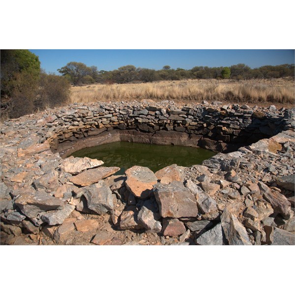
Here is one of the wells from Colreavy. This is all that is left of the
well (south of the town which was deregisterd in 1912)
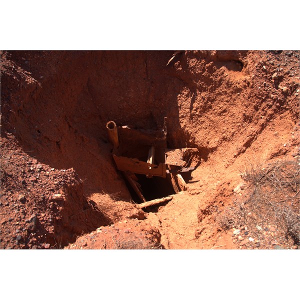
Colreavy Well
This is Farrens
Rockhole about 8 km east of Mt Colreavy. I reckon this RH has been modified to allow for more water, initially for prospectors and then stock.
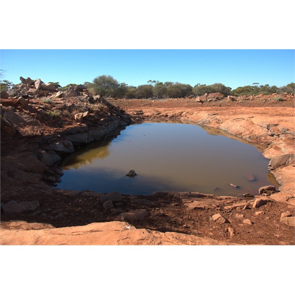
Farrens Rockhole
This is the old
Marda Tank, however I could not locate the nearby
Gnamma Holes.
Marda Tank
About 12 kms or so north of Koolyanobbing along the road to Helena and Aurora Range are a number of Gnammas in a group of which two are shown here (not far along a track to east)
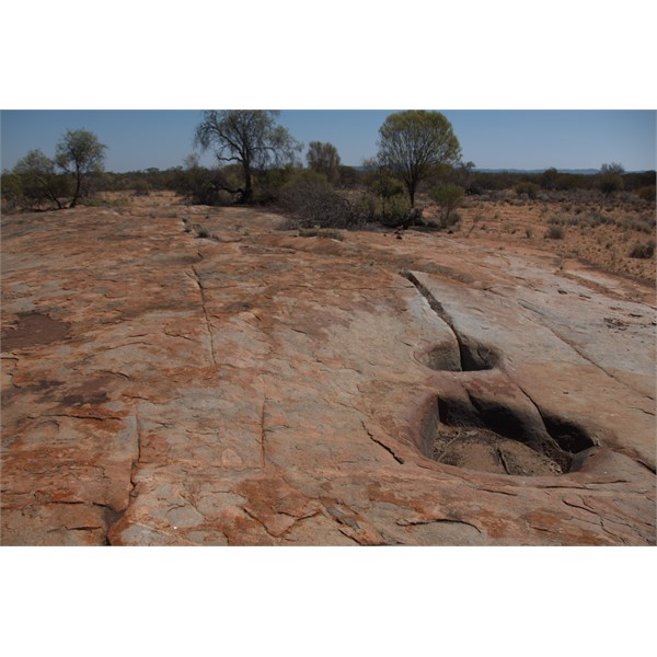
Gnammas
Three Mile Rocks (as they were known a 130 years ago or so) were on the original track from
Southern Cross to
Mount Jackson. Within the rocks lay a
Gnamma Hole. I think it it called Three Mile Rocks as it is Three
miles approximately NNW from
Trough Well.
It is quite large. As the original track was not in use for long it shows no signs of human use at all. At these
places normally you would find old tin cans and bottles - I found nothing.
I hypothesise that as it is only 3
miles from
Trough Well it was not considered a major
rest stop (
Kurrajong is only 20 kms to the north) hence the lack of
debris.
However, it would seem that originally it was dug out completely and the soil/rocks dumped to one side. The
Gnamma is filling up again - some from additional soil washed in, and some from the original pile of soil.
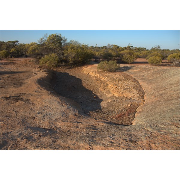
Three Mile Rocks Gnamma Hole
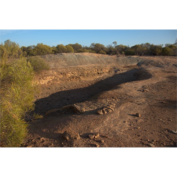
Three Mile Rocks Gnamma Hole
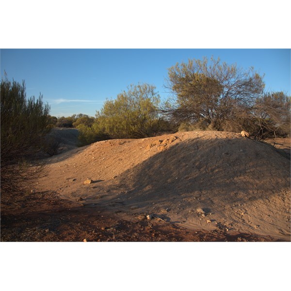
Soil dug out of Gnamma Hole many years ago
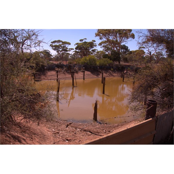
This is
Tin Hill Tank - A stopping Point on the original
Southern Cross to Koolyanobbing Road.
Tin Hill Tank
This may be Gus Luck's (Augustus) inscription on this tree - I'm not sure.
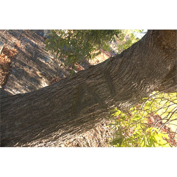
The AL Tree
Barcooting
Hill played an important part in the opening up of the Goldfields. Here is the channel leading into the main tank there. There is supposed to be two tanks - I only found the main one by the track. Does anybody know where the other one is?
Barcooting Hill Tank supply
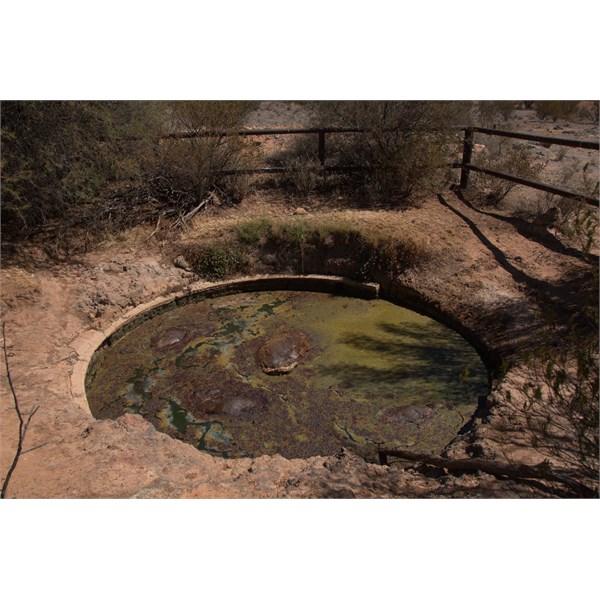
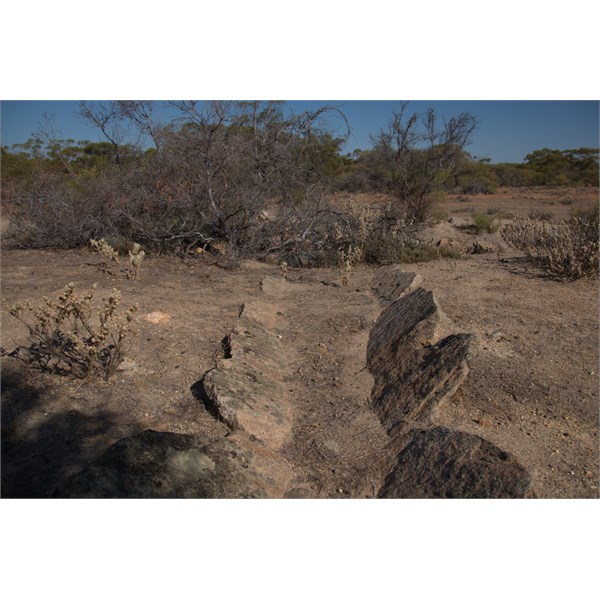
Along the
Bullfinch Evanston Road, about 13 km north of Lake Deborah East and then east a bit along a track is this
water supply - Does anybody know what this is or was?
What is this place?
Cheers all
Safe Travels
Alan