Hi all,
Following on from my retracing of
Carnegie in 2013 I have now followed his route from
Mount Webb to the
Gunbarrel Highway near
Lake Breaden.
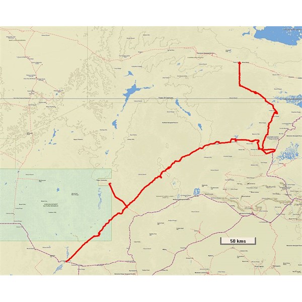
Plot of trip
There was initially myself and Massie the dog and 4 other vehicles with 6 people.
We covered over 800kms in 18 days cross country.
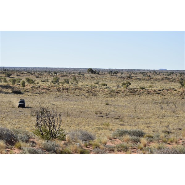
Travelling south from Mount Webb
Later on near the Searle Hills we would meet up with representatives of the Ngaanyatjarra Council.

Enroute from Mount Webb
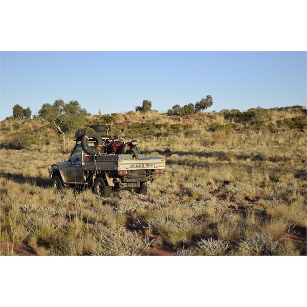
Fair Maid ready for action
found a
Native Well near a small range he thought was the Winnecke Hills of Tietkens. We found this
well and there were many petroglyphs at the site.
Carnegie saw a big
hill to the east form the top of the range which was
Mount Leisler.
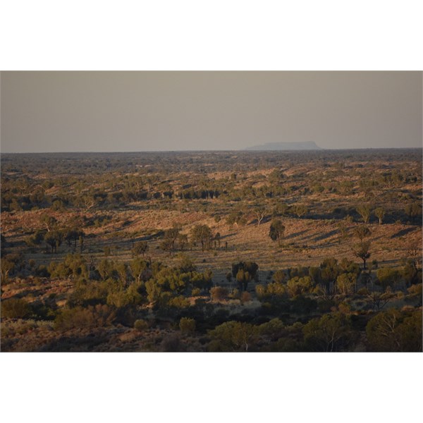
Mount Leisler from western range
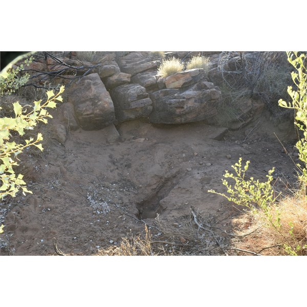
Native Well Carnegie found May 15 1897
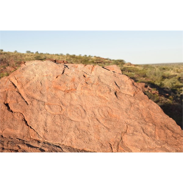
Petroglyph near Native Well
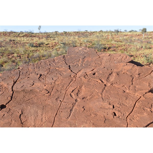
Petroglyph near Native Well
He also found a
rockhole near the
Turner Hills. He thought these hills were the
Davenport Range. We found this
rockhole.
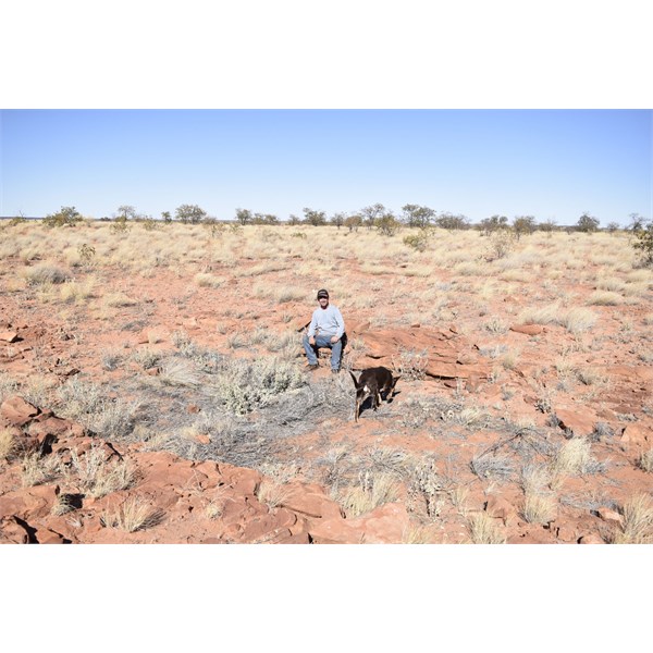
Rockhole near Turner Hills
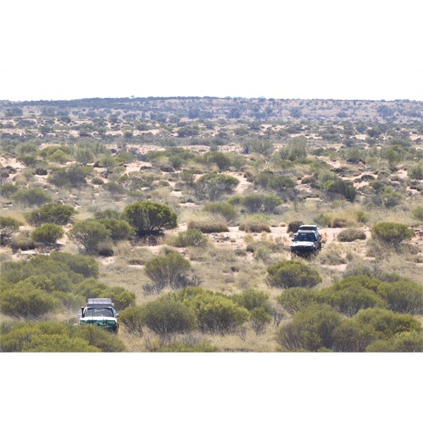
Travelling south of Turner Hills
He also found a
rockhole 8
miles south of the
Turner Hills. We found this one also.

Rockhole south of Turner Hills with Red Scrubby Hill in background
Then we went slightly off route to Sheridan Rocks, named by Hann - this was close to the route and we needed some water from a pump at the Sandly Blight
Junction Road also.
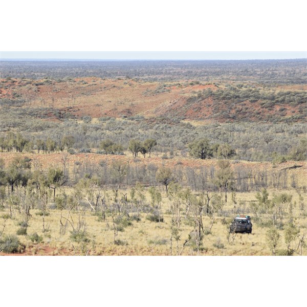
Enroute to Sheridan Rocks
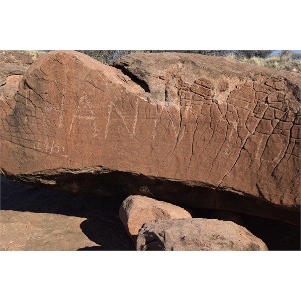
Hann Inscription at Sheridan Rocks
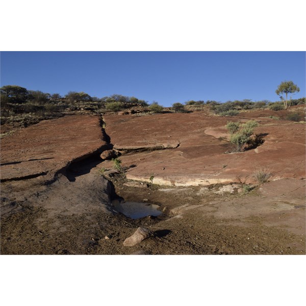
Soak at Sheridan Rocks
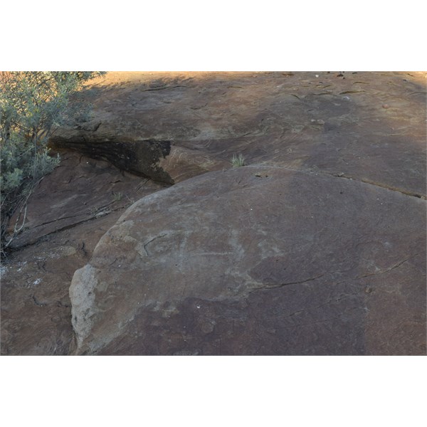
H at Soak
I was always the lead vehicle and got many punctures. I had 5 brand new tyres plus 3 old spares and completely ruined them all by the end of the trip.
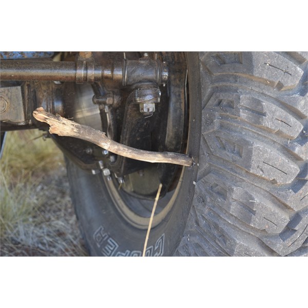
Whoops
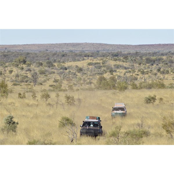
Leaving Compton Hills
We met the Ngaanyatjarra people out near the Searle Hills.

Our travelling companions are nearby
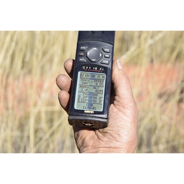
Couldn't resist this confluence
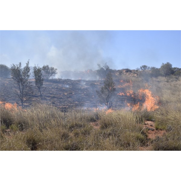
Nearing meeting point
We took them to a Pillar
Carnegie passed on 27 May 1897 and they identified it through stories as Markura.
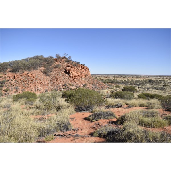
Markura Pillar - Carnegie passed by 27 May 1897
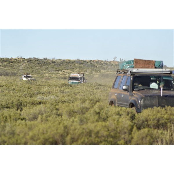
Through the Thryptomene
We found a
rockhole that may have been visited by
Carnegie on 29 May 1897 and everyone was quite excited about the discovery.
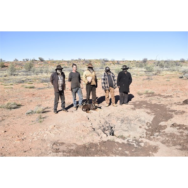
Possible Rockhole Carnegie passed 29 May 1897
Then we visited Deep Rockholes. We didn't know exactly where this was. When we found it the Traditional owners immediately made it a provisional Aboriginal
Heritage Site.
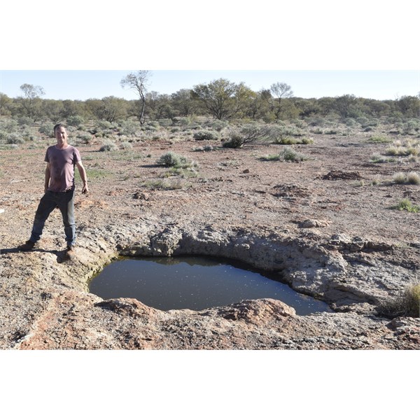
The largest of the Deep Rockholes
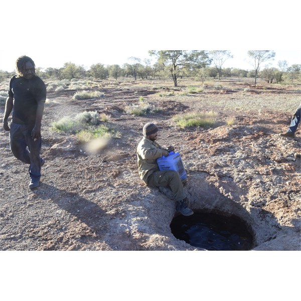
Water gathering - deepest of the Deep Rockholes
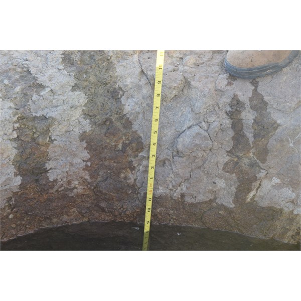
Quite Deep
We then headed to the south west.
Carnegie found another
rockhole somewhere in this direction and we found a couple but cannot be sure they were
Carnegie's.

Rockhole south west of Deep Rockholes
Later we came across some old tracks of a vehicle and we followed these for a while. Mr Bennet was in my vehicle and was an expert tracker. He saw things I didn't. However we gave up following them after a while.
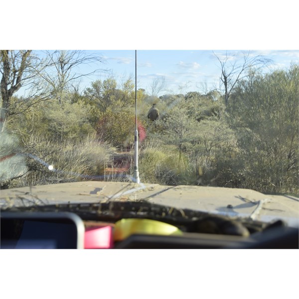
Mr Bennet tracking some old tracks
The Ngaanyatjarra people left us and headed west.
A couple of days later we crossed the Patjarr Track and some of went in to get some fuel. I had had two major fuel leaks due to bits and pieces getting ripped out from beneath my vehicle.
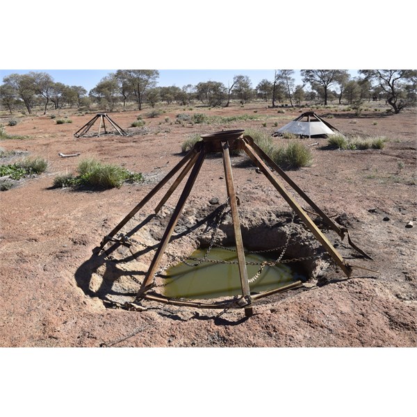
Tikatika Rockholes
Heading south east again from Tikatika Rockholes I passed a man made
line of rocks on the top of a ridge. Investigating there were a few rockholes below and many different arrangements of stones.
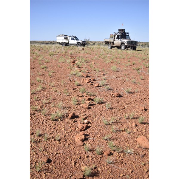
Guiding Line to Ceromonial Site
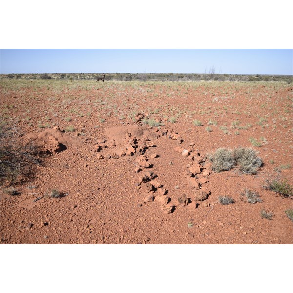
Stone arrangements
On June 6 1897
Carnegie found a few
waterholes around a breakaway. I was a bit confused here at first as the smaller rockholes we found would not contain 30 gallons as
Carnegie had described.
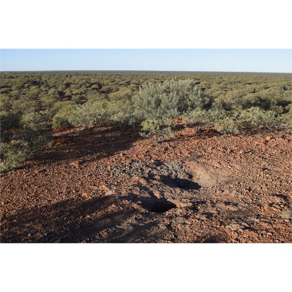
Rockholes Carnegie found June 6 1897
However I found the
rockhole in the morning. It was completely filled in.
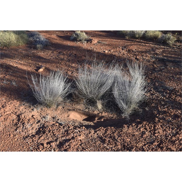
Probable Rockhole Carnegie found June 6 1897
This is a video of us all digging it out.
Carnegie passed a creek on 7 June 1897 and found a
native well along its course. We followed the creek but gave up looking as there were a number of possible
places.
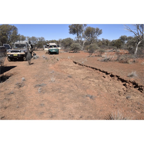
Creek Carnegie passed on June 7 1897
Before reaching
Lake Breaden Carnegie found another
Native Well. We found a couple of likely spots and they were almost spot on with
Carnegie's stated latitude.
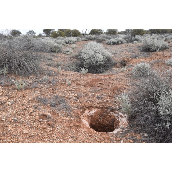
Possible Native Well Carnegie found June 10 1897
We reached the Gunbarrel and we all went our separate ways.
This report is just a summary - in all we found 21 Native Wells/Rockholes - not all of them were
Carnegie's.
Cheers
Alan