That’s what we said when the daughter said they were going to
Kingsborough for
Easter, and would we like to join them? A bit of a Google search didn’t find too much, and a plea for help on ExplorOz(Thread: 117087) was only answered by Slow one and Neil & Margie. A website of
NQ Miners Den gave some useful info too.
We travelled up along the Hann Highway(Kennedy Developmental Road), via
Hughenden, The Lynd(Diesel: $1:39.9), Mt Garnet,
Ravenshoe,
Atherton,
Mareeba and onto the Burke Developmental road, to Dimbulah, where we turned north onto the Mt Mulligan Road.
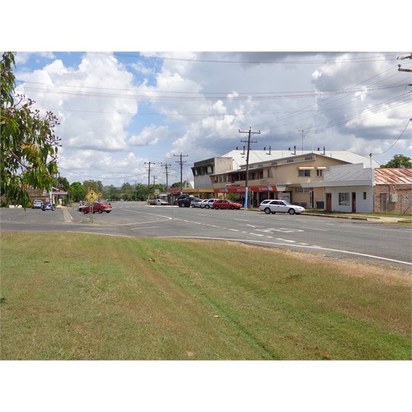
Main Drag of Dimbulah
Less than an hour later, we turned right near the
Thornborough Cemetery, past the
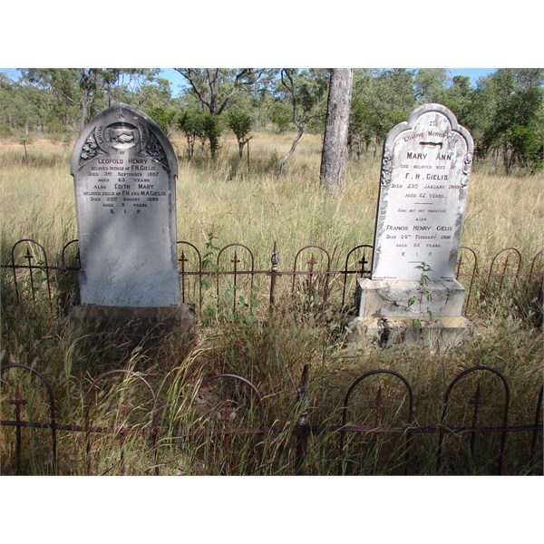
Graves at Thornborough Cemetrey
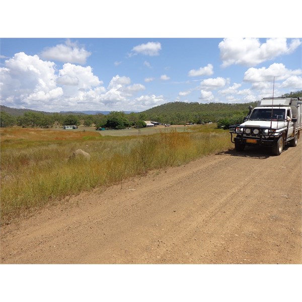
Site of Thornborough Township
remains of
Thornborough township, and wound our way through the hills for another 7 kms into
Kingsborough. About 4 km in, we past Tyrconnel
Mine, which runs tours in the area, and has some accommodation available.
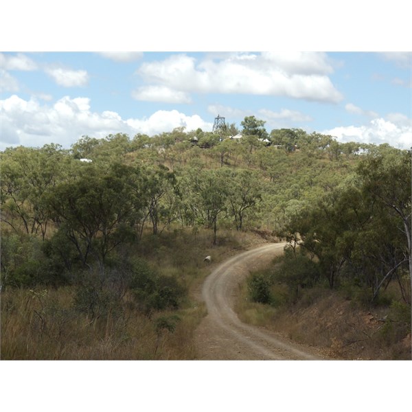
Tyrconnel Mine - on road into Kingsborough Nth Qld
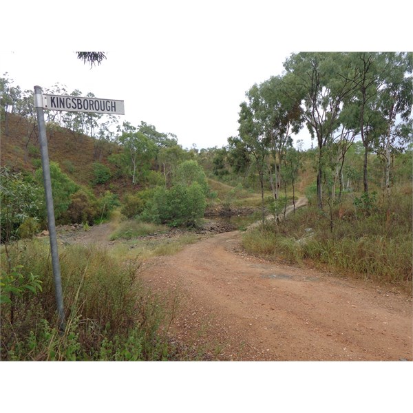
Almost at Kingsborough
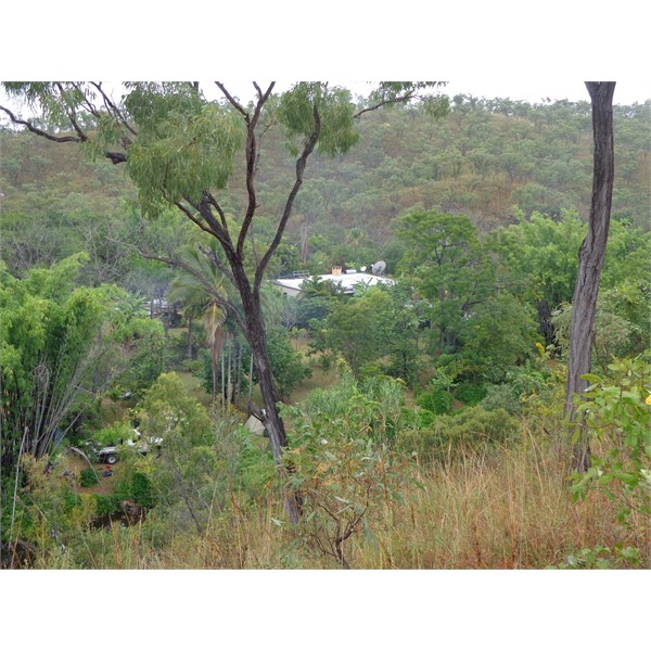
A glimpse of Kingsborough from above on the road
is a bit of an oasis, nestled into a bend on McLeods Ck, with neat lawns and a mix of plants and trees scattered throughout, to keep any keen gardeners truly happy.

Our camp amongst the plants.
We set up the camper next to the Kids
camp, close to the creek, and surrounded by Hibiscus, Bamboo, palms, quavas and many other plants. Other campers were scattered about the place, as
well as a number on the other side of the creek, up against one of the hills.
On
Easter Saturday, we all clambered into a BT-50 dual cab and drove up to Mt Mulligan. The kids were planning to
camp here again, as they had last year, but the new owners of Mt Mulligan Station have cancelled any camping, hunting,
fossicking etc on the station. We had a good look around there, at the old township, the
cemetery, the remains of the
Mine buildings and even walked up to
the entrance to the
mine. Mt Mulligan was the scene of 3rd largest
mine disaster in Australia, when the
mine exploded on 19/09/1921, and 75 miners lost their lives.
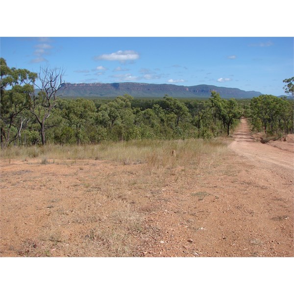
Mt Mulligan

Part of Mt Mulligan Mine
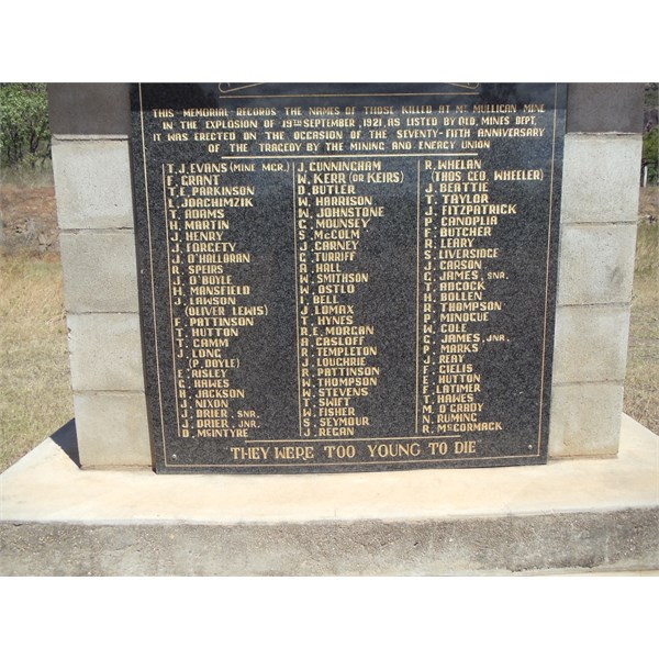
List of those lost in the mine explosion - Mt Mulligan Nth Qld
The
Bicentennial National Trail comes within a few kilometres of
Kingsborough, and we did a couple of runs along it, in both directions on Sunday. It was in quite good condition, though a little overgrown in a few spots. The daughter had bought a couple of gold pans from NQ Miners Den in
Cairns, but we didn’t end up trying them out……most of the creeks were full of boulders, rather than gold bearing gravel, that’s easy to shovel.
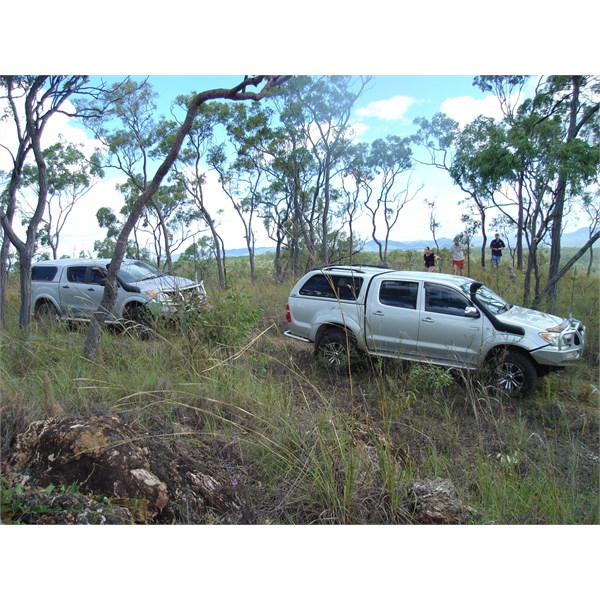
On Bicentennial National Trail, east of Kingsborough.
Packed up Monday and parted company in Dimbulah. Fuelled up here($1:38.8/L-Diesel) at “The One Stop
Shop”, just off the highway, you can get food, groceries, fuel, a great little
shop.
We planned to return on a different route, so headed up to Almaden, (past Petford, which must surely have the smallest railway station in Australia, if not the world.) where we turned onto the Mt Surprise Road and headed south. This is a gravel road, in far better condition than the dotted line on a Hema map would suggest. A couple of short sections of bitumen were a relief from the corrugations, but overall it was easy travelling.
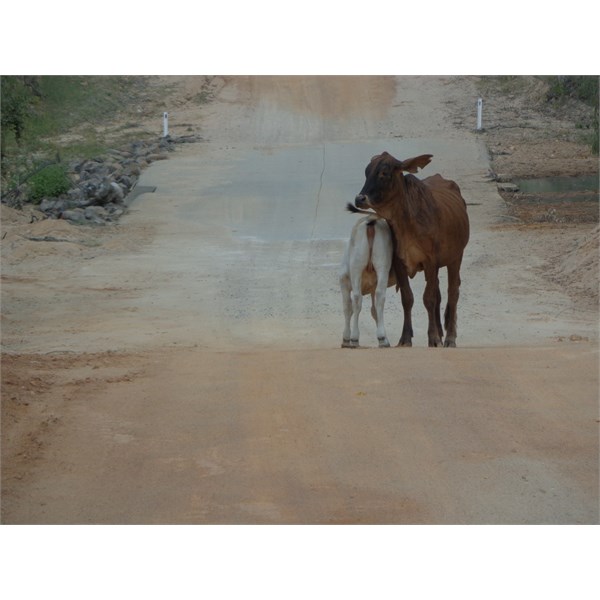
Afternoon Smoko - At Four Mile Creek, on Mt Garnet-Almaden Road
A bit of “weather” around, and our reluctant, furry travelling companions, made us decide to turn left onto the Mt Garnet road, rather than venture onto Mt Surprise, then down to
Einasleigh, and back to The Lynd. This brought us out onto the highway 22 kms south of Mt Garnet by mid afternoon. About an hour down the bitumen, after passing the 40 Mile Scrub N/P, and Undarra Lava Tubes turn off, we found a gravel pad, with plenty of room for us, and perhaps any trucks that might need to pull up.
Bit close to the bitumen, but traffic was light after dark, and big surprise, we had FULL Telstra coverage. Rib Fillet and fried rice for tea, and a bit later on, a visit from a Stimson’s Python, about a metre long, wasn’t appreciated by the
Cook. For any Wikicampers, I added this
campsite to the site list……
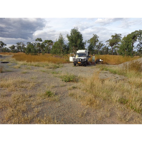
Camp on Hann H'way, north of The Lynd. Nth Qld
Morning brought a heavy dew, a quick brekkie and down the highway to The Lynd, where we grabbed an iced coffee, and topped up with fuel. A bit different here this morning, as only another bloke and us fuelling up. About same time on Good Friday, there were road trains, sedans, wagons, campers caravans and all manner of vehicles, heading to
Einasleigh for the Rodeo, and no doubt other destinations as
well. Busy as!

Heading home, at Einasleigh Turnoff, near The Lynd.
From when I first went up through The Lynd in 2009, there is now heaps more bitumen, so on the way back measured the amount of gravel remaining. Probably just over 100 kms left, in about 8-10 different sections. The only bad corrugations were about 2 kms south of
Poison Creek, the rest was pretty easy……..if you like corrugations!!!