Talawana Track - Gibson Desert
Submitted: Sunday, May 19, 2024 at 10:39
ThreadID:
147727
Views:
1389
Replies:
4
FollowUps:
6
This Thread has been Archived
Member - Charlie C
Hi all, we are planning on crossing over from Alice via the
Gary Junction Road in June, with a stop over at Karlamilyi (
Rudall River) NP. Currently I have been thinking of heading south at
Gary Junction on the Gary Highway, and then west again on the Talawana track. Another option could be to head on to
Kunawarritji and then take the CSR down to where it meets the Talawana, although I suspect this route will be far more heavily trafficked - and that's not why we're out there is it!
If anyone has taken this route recently would love to hear how its looking and how long it took you. If you think there is a particular reason that the CSR option would actually be better, interested to hear that too!
Cheers
Reply By: Allan B (Sunshine Coast) - Sunday, May 19, 2024 at 11:29
Sunday, May 19, 2024 at 11:29
.
Charlie, seeing more than 2 cars in the one day is "heavily trafficked" in my opinion. But I don't think you will encounter too many traffic jams on your proposed route.
But it has been a while since I was last on it so who knows?
AnswerID:
645914
Reply By: Bob Y. - Qld - Sunday, May 19, 2024 at 12:03
Sunday, May 19, 2024 at 12:03
Charlie,
Some reports I’ve found recently paint a rather dismal picture south of
Kunawarritji, with extensive flooding around Wells 24-26. Much of this area is ti tree country, so good country to keep away from.
Apparently the Moons have travelled the Gary Highway recently then onto the Talawana track, if I read the report correctly. The Gary has been described as rough & washed out in
places. Both Gary & Talawana are a bit scratchy.
In 2018, we came up Gary Highway, via Veever’s Crater, fuelled up at
Kunawarritji, then along
Telfer road, escorted along
mine road from the security
gate & camped just south of
mine, just within earshot of
mine. Next day down to Desert Queen Baths.
Bob
AnswerID:
645915
Follow Up By: Member - Charlie C - Monday, May 20, 2024 at 13:22
Monday, May 20, 2024 at 13:22
Cheers Bob, can I ask where you are finding reports on the state of the Canning?
And also, what exactly do you mean by Ti Tree country?
FollowupID:
926342
Follow Up By: Bob Y. - Qld - Monday, May 20, 2024 at 22:15
Monday, May 20, 2024 at 22:15
Charlie,
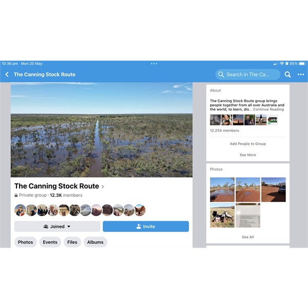
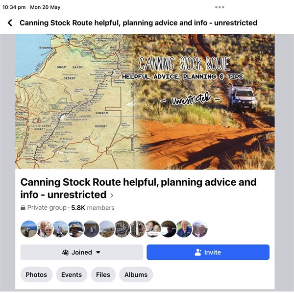
The
Canning Stock Route page on FB, as
well one called, I think,
Canning Stock Route-Helpful hints etc, also on FB.
Canning
Canning-2
Ti Tree is one of the melaleuca species of paperbark tree that thrives in swampy country. Often the soil looks trafficable, but once the crust is broken, the subsoil is very liquid & almost bottomless.
Bob
FollowupID:
926345
Reply By: Peter_n_Margaret - Sunday, May 19, 2024 at 15:22
Sunday, May 19, 2024 at 15:22
Not recent, so not very relevant.
We walked to a Degree Confluence south of the
Gary Junction Road on 26/6/2005, drove south via Telfer
and a second Degree Confluence, drove through Karlamilyi NP then turned west on the Talawana Track, called into
Jigalong, attempted a third Degree Confluence south of
Nullagine, did a spot of sightseeing north of
Nullagine and were camped in
Carawine Gorge (coming in via Scull Springs Road) on 30/6/2005.
My only recollection of the roads is that the corrugations in the south of the park were really rotten.
Cheers,
Peter
OKA196 motorhome
AnswerID:
645917
Follow Up By: Allan B (Sunshine Coast) - Sunday, May 19, 2024 at 17:43
Sunday, May 19, 2024 at 17:43
.
Peter, all corrugations are "rotten".
But if you are going to let that stop you, then you are not going to see much of Australia's outback, are you?
FollowupID:
926337
Follow Up By: Peter_n_Margaret - Sunday, May 19, 2024 at 20:01
Sunday, May 19, 2024 at 20:01
And they never stop us Allan, but some are "more rotten" than others. :(
These on the
Gary Junction Road in 2008 (still on topic) were pretty "rotten", but they only lasted for 10 metres and then it was all good again, so hardly worth mentioning :)
"Rotten"
Actually, we had never seen any corrugations quite like these and that is why I stopped for a
pic.
Yes, they only lasted 10m. They were on the top of a very slight rise. Probably wheel spin from very fast 2WD vehicles I reckon? Now we are off topic?
Why?
Cheers,
Peter
OKA196 motorhome
FollowupID:
926338
Follow Up By: Allan B (Sunshine Coast) - Sunday, May 19, 2024 at 21:44
Sunday, May 19, 2024 at 21:44
.
Peter, I think those are the most rotten I have ever seen!
FollowupID:
926339
Reply By: Member - Cuppa - Sunday, May 19, 2024 at 21:03
Sunday, May 19, 2024 at 21:03
We went across that way in late July 2018. Our plan was to take the the Gary Highway to the Talawana & then west as you are planning. Like this year there had been extensive flooding where the Talawana met the CSR. We had no certainty as to whether we could get through, so left
Kunawarritji with sufficient fuel to make the return journey to
Kunawarritji if need be.
As it turned out we only did 10 or 15kms on the Gary Highway before turning around. The track was very tight & scratchy, & lots of spinifex was still smouldering , with big smoke ahead of us. We were fearful we might get trapped by fire if conditions changed. Subsequently at Desert Queen baths we met a number of folk taking a 600km(?) detour because they could not get through the flooded area of the CSR, so i think it was pretty clear we would not have made it through if we had taken the Talawana East track.
As it was it turned out to be quite fortuitous.
We drove into Karlamilyi from the north via Punmu & the Telfer
mine. This was a far more interesting route that the route we took south out of Karlamilyi to the Talawana ( & on to the Kalgan River &
Newman).
AnswerID:
645920
Follow Up By: Member - Charlie C - Monday, May 20, 2024 at 13:28
Monday, May 20, 2024 at 13:28
Thanks Cuppa, great info. Sounds like both tracks are obviously quite dissused - and like you've said its a significant way to turn back if you can't make it through
the junction with the Canning. Might aim to get on the phone closer to the time and see what the go is by then - and if its looking too treacherous will take the Telfer option.
Charlie
FollowupID:
926343